Free · state by state · built from USGS data
Public hunting land near you: WMAs, forests & refuges by state
A free directory of 9,924 named public land units in 50 states: state wildlife management areas and game lands, national forests and grasslands, national wildlife refuges, BLM land and more, from the USGS Protected Areas Database (PAD-US 4.1).
- 9,924named areas
- 50states
- ~608 millionacres listed
2026–27 deer season dates
Opening dates by state →Official archery and gun opening dates for 19 states, each checked against the state wildlife agency on Sep 26, 2026, alongside the public land in that state. Texas hunters: see the Annual Public Hunting Permit guide.
Score your buck
Deer score calculator →Free whitetail score calculator (Boone and Crockett method), a step-by-step scoring guide, how to count points, and a printable score sheet.
Explore by state
Listed areas per state
Select a state tile to open its list.
Acres by land type, all states
- 6,601 state wildlife & game areas
- 1,287 forests & grasslands
- 713 wildlife refuges & WPAs
- 161 BLM units
- 323 lake & reservoir project lands
- 164 state trust / land board tracts
- 675 other public land units
All states
- Alabama80 areas
- Alaska63 areas
- Arizona73 areas
- Arkansas103 areas
- California255 areas
- Colorado595 areas
- Connecticut12 areas
- Delaware34 areas
- Florida132 areas
- Georgia151 areas
- Hawaii73 areas
- Idaho107 areas
- Illinois131 areas
- Indiana134 areas
- Iowa469 areas
- Kansas93 areas
- Kentucky150 areas
- Louisiana113 areas
- Maine77 areas
- Maryland50 areas
- Massachusetts337 areas
- Michigan238 areas
- Minnesota1,458 areas
- Mississippi69 areas
- Missouri45 areas
- Montana166 areas
- Nebraska316 areas
- Nevada77 areas
- New Hampshire38 areas
- New Jersey137 areas
- New Mexico66 areas
- New York766 areas
- North Carolina100 areas
- North Dakota255 areas
- Ohio218 areas
- Oklahoma76 areas
- Oregon118 areas
- Pennsylvania480 areas
- Rhode Island13 areas
- South Carolina105 areas
- South Dakota583 areas
- Tennessee194 areas
- Texas113 areas
- Utah165 areas
- Vermont130 areas
- Virginia142 areas
- Washington263 areas
- West Virginia132 areas
- Wisconsin152 areas
- Wyoming77 areas
Photos from listed public lands
All photo credits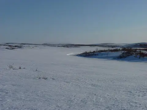
Photo: USFWSAlaska · public domain · original source 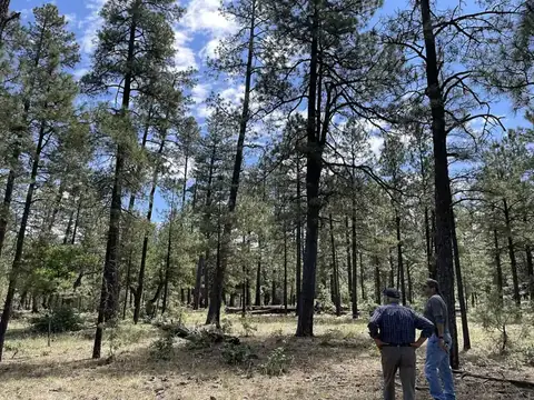
Photo: Forest Service Photography · public domain · original source 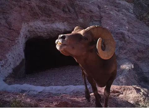
Photo: USFWS Headquarters · public domain · original source 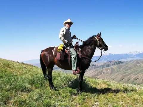
Photo: U.S. Forest Service · public domain · original source 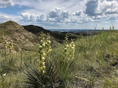
Photo: Paula Gouse, U.S. Fish and Wildlife Service · public domain · original source 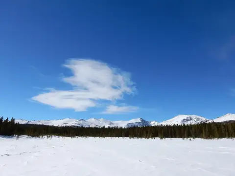
Photo: Michelle Buzalsky, US Forest Service · public domain · original source
Public-domain photos by U.S. federal agencies, taken in the place named on each card.
What’s in the directory
About 608 million acres in total (approximate, from simplified boundaries). Each area page shows acreage, manager, designation, PAD-US access status, counties, a point you can open in Google Maps or OpenStreetMap, nearby public land within 30 miles, and a link to the state wildlife agency for regulations.
How to use it
- Pick a state and filter by land type, manager or access status.
- Open an area to see its details and nearby public land.
- Before you go, confirm on the managing agency’s site that the area is open to the hunting you plan, and check seasons, permits and boundaries. PAD-US boundaries are approximate.
WMAs by state → · Deer season dates → · How this list was built →